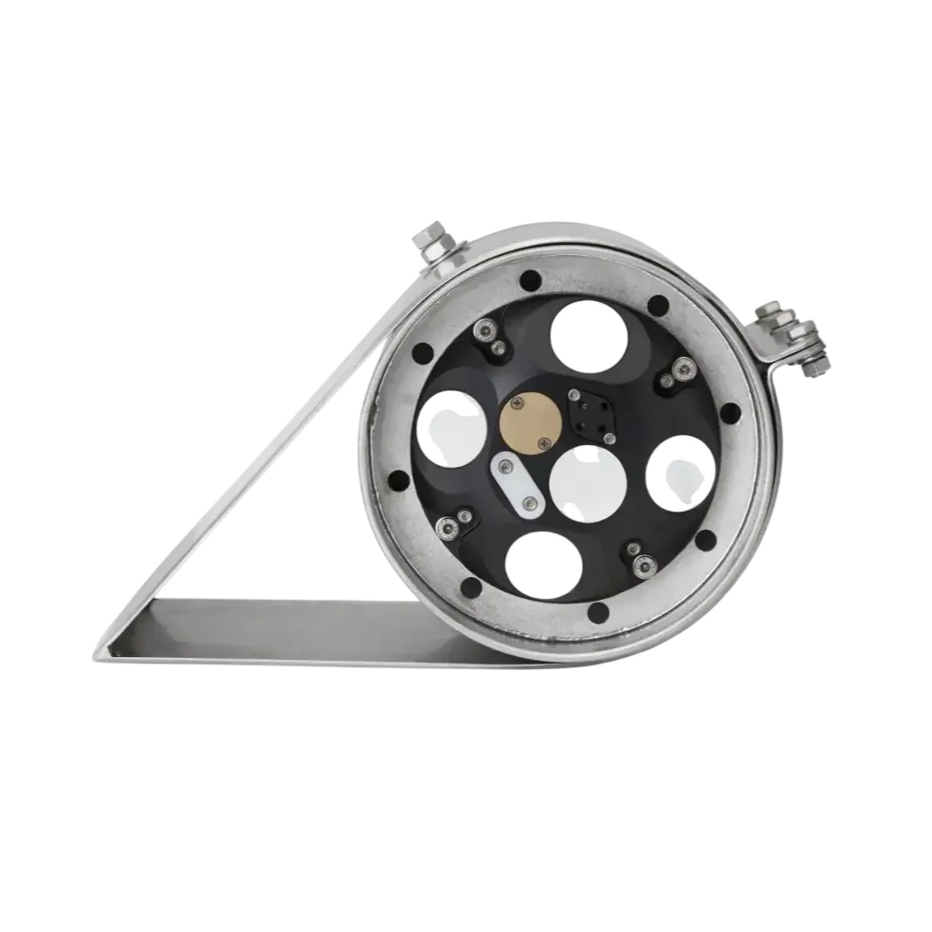
Operational overview and field deployment
Instrument role in vessel-mounted hydrodynamic measurements
NORTEK Signature VM Coastal is designed for vessel-mounted hydrodynamic surveys where simultaneous current profiling and depth information are required. It is typically used during coastal and nearshore survey operations conducted from moving platforms.
Measurement capabilities and usage context
This system enables real-time acquisition of water current profiles while the vessel is in motion. It also provides depth information and supports bottom-tracking performance, making it suitable for bathymetric and hydrodynamic survey workflows.
Operational environment
The system is intended for coastal and nearshore marine environments where vessel-based data acquisition is required. It is used in conditions where simultaneous measurements of currents, seabed reference, and water column structure are necessary for survey accuracy.
System integration role
Within a vessel-mounted measurement setup, it functions as a core acquisition system integrated with navigation inputs, positioning systems, and additional hydrographic sensors. It is commonly used as part of mobile survey configurations for dynamic data collection.
Deployment usage
Deployment is carried out directly on survey vessels, with installation adapted to vessel geometry and operational requirements. The system is configured to operate continuously during transects, supporting real-time hydrodynamic and depth measurements.
Typical users
It is commonly used by hydrographic surveyors, oceanographic institutes, offshore engineering teams, and environmental monitoring organizations conducting vessel-based marine surveys.
Specifications
| AVAILABILITY | Rental, Sale |
| BRAND | NORTEK |
Alternative Products
These other products might interest you
Accessories
These other products might interest you