Operational overview and field deployment
Instrument role in marine positioning and heading systems
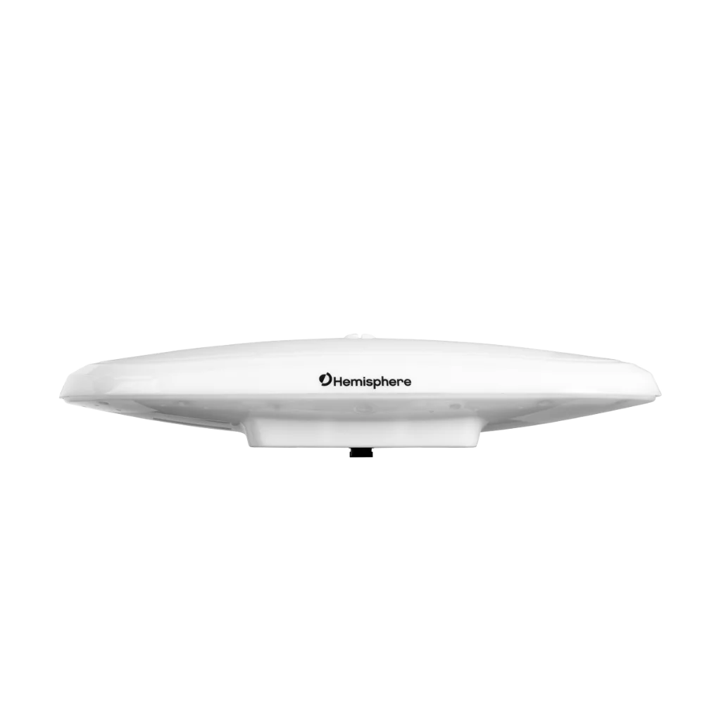
HEMISPHERE Vector V200 GNSS Compass is designed for marine navigation and positioning applications requiring reliable heading and attitude information. It provides continuous positioning and orientation data for offshore operations, survey vessels, and marine monitoring platforms.
Measurement capabilities and usage context
This GNSS compass combines satellite positioning with heading, roll, pitch, and heave measurements to support vessel navigation and motion monitoring. It is commonly used in applications where stable orientation data and reliable positioning are required during dynamic marine operations.
Operational environment
The system is designed for deployment in coastal and offshore marine environments exposed to vessel motion, wave action, and varying operational conditions. It is suitable for continuous operation on manned or autonomous marine platforms.
System integration role
Within a navigation architecture, it functions as a positioning and attitude reference unit integrated with onboard marine electronics, survey software, and navigation systems. It supports real-time data transmission for operational monitoring and navigation workflows.
Deployment usage
Deployment involves mounting the GNSS compass on the vessel or platform with suitable visibility to satellite constellations. Once installed, the system continuously outputs navigation and orientation data for real-time operational use.
Typical users
It is commonly used by hydrographic survey teams, offshore operators, marine engineering companies, and oceanographic organizations conducting navigation, positioning, and vessel motion monitoring operations.
Specifications
| AVAILABILITY | Rental, Sale |
| BRAND | HEMISPHERE |
Alternative Products
These other products might interest you
Accessories
These other products might interest you