Ports, harbours & dredging
We supply and rent equipment designed for the ports, harbours & dredging sector.
Sector
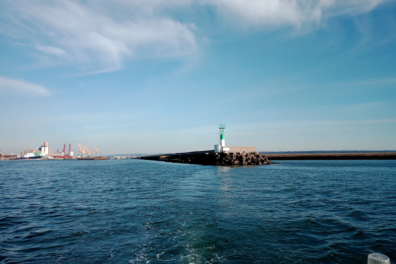
Ports, commercial harbours, and access channels form the vital junctions of global maritime trade, supporting industrial logistics, ferry transit, and international supply chains. To accommodate modern vessel fleets with increasing drafts, harbour authorities and marine terminal operators must maintain guaranteed navigational depths under strict international guidelines, such as those established by PIANC and the OSPAR Convention.
Unlike open-sea conditions, harbour basins are confined operational zones governed by complex sediment traps, river-mouth siltation, and heavy ship traffic. Ensuring uninterrupted port operations while adhering to rigorous environmental protection standards requires continuous monitoring of navigable depths and a proactive approach to dredged sediment management.
Challenges
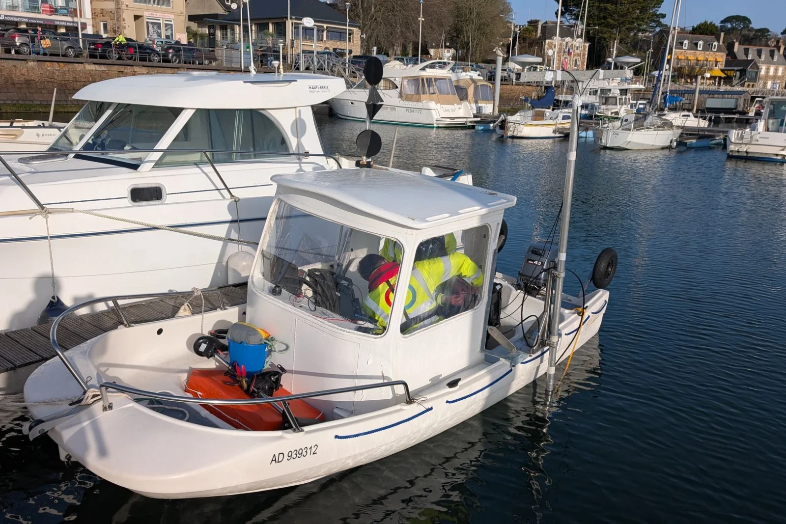
Port maintenance and capital dredging operations face tight constraints: restricted vessel manoeuvrability in active fairways, rapid siltation rates, contaminated sediment remobilization, and stringent regulatory discharge thresholds. Delivering efficient dredging works and berth maintenance demands high-precision pre- and post-dredge bathymetric mapping, continuous nautical bottom characterization, and real-time environmental compliance tracking—specifically monitoring turbidity plumes, sediment suspension, and current dynamics around disposal or nourishment sites.
To prevent costly maritime downtime, optimize dredge volumes, and meet strict environmental permit limits, port authorities, dredging contractors, and hydrographic survey teams rely on high-resolution acoustic systems and rugged monitoring sensors, available through flexible sale and rental arrangements to ensure rapid mobilization and mission accuracy.
Explore our solutions
We provide versatile solutions tailored to your specific needs in the ports, harbours & dredging sector.
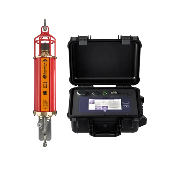
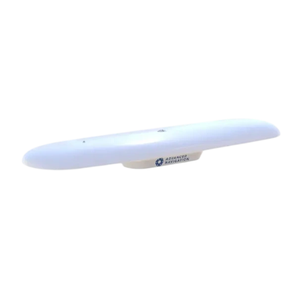
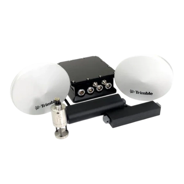
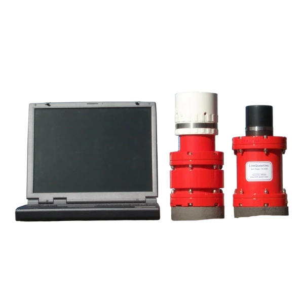
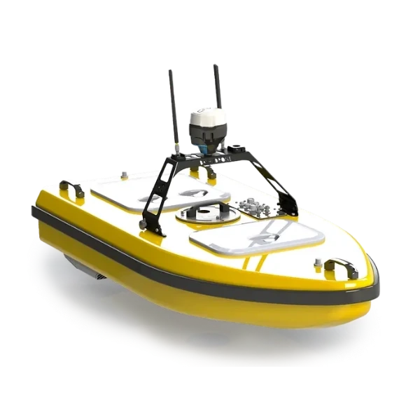
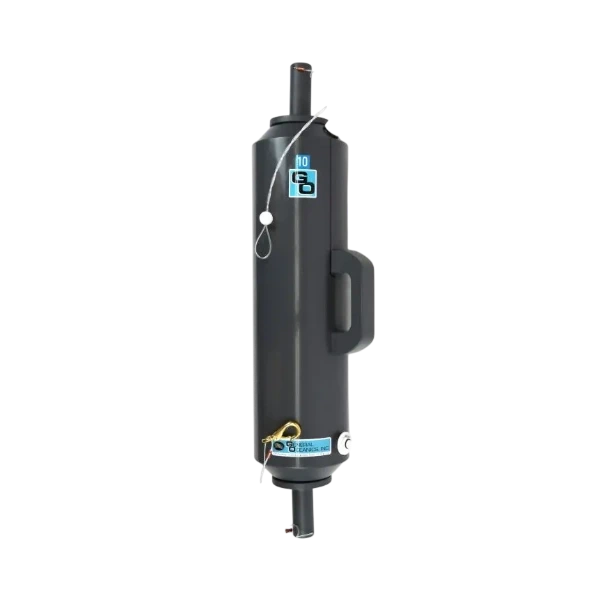
Key figures
Ports carry most of world trade, and keeping them accessible means dredging, surveying and monitoring all year round.
80%+
World trade carried by sea
Share of world trade volume carried by sea, which makes port access a strategic issue for every economy.
80–90%
Dredged material at sea
Share of dredged material among all the material dumped at sea under licence, under the London Convention and Protocol.
~10%
Contaminated sediment
Approximate share of dredged material contaminated by shipping, industrial or urban discharges, which requires specific handling.
Sources: UNCTAD – Review of Maritime Transport 2024 · IMO – London Convention and Protocol on the prevention of marine pollution by dumping · IHO – S-44 Standards for Hydrographic Surveys.
How our equipment supports your projects
From the first site studies to long-term monitoring, our instruments cover each stage of your marine campaigns.
Pre- and post-dredge surveys
Multibeam bathymetry to IHO S-44 standards controls dredged volumes and confirms the depths delivered to the port authority.
Channel & berth monitoring
Regular surveys of fairways, basins and berths detect siltation early and help plan maintenance dredging.
Turbidity plume monitoring
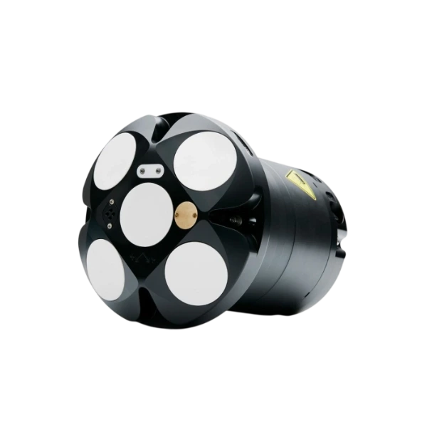
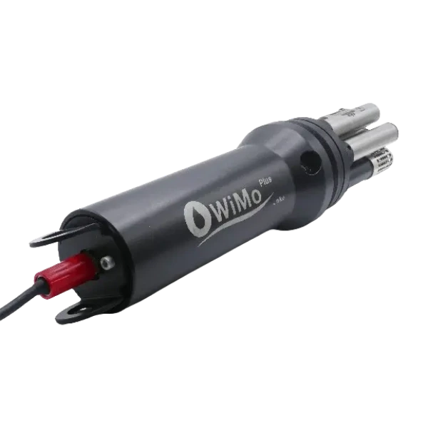
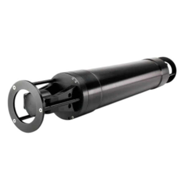
Current profilers, turbidity sensors and multiparameter probes track sediment plumes around dredging and disposal sites.
Sediment characterisation
Sampling and particle size analysis classify sediments and guide their reuse, relocation or treatment.
Navigation & positioning
GNSS compasses and USBL systems position survey vessels, dredgers and underwater inspections of quay walls.
Real-time compliance data
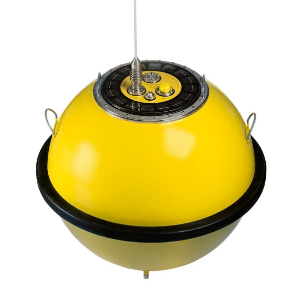
Telemetry sends environmental data live to operators and authorities, so works can adapt before permit limits are exceeded.